
Thank you for supporting this site ❤️
Make a donation
Make a donation
Ellsworth topographic map
Click on the map to display elevation.
Thank you for supporting this site ❤️
Make a donation
Make a donation
About this map
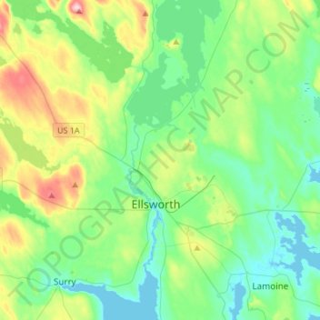
Name: Ellsworth topographic map, elevation, terrain.
Location: Ellsworth, Hancock County, Maine, United States (44.47244 -68.63976 44.66615 -68.38411)
Average elevation: 53 m
Minimum elevation: -2 m
Maximum elevation: 198 m
Thank you for supporting this site ❤️
Make a donation
Make a donation