
Kampung Mawai Baharu topographic map
Interactive map
Click on the map to display elevation.
About this map
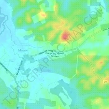
Name: Kampung Mawai Baharu topographic map, elevation, terrain.
Location: Kampung Mawai Baharu, Mawai, Kota Tinggi, Johor, Malaysia (1.83010 103.95298 1.87010 103.99298)
Average elevation: 21 m
Minimum elevation: 1 m
Maximum elevation: 75 m