
Thank you for supporting this site ❤️
Make a donation
Make a donation
Val Sangone topographic map
Click on the map to display elevation.
Thank you for supporting this site ❤️
Make a donation
Make a donation
About this map
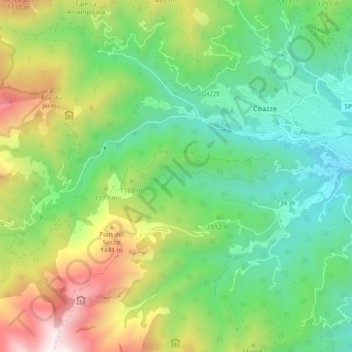
Name: Val Sangone topographic map, elevation, terrain.
Location: Val Sangone, Coazze, Torino, Piemonte, Italia (45.02882 7.23225 45.05041 7.32414)
Average elevation: 1,054 m
Minimum elevation: 566 m
Maximum elevation: 1,998 m
Thank you for supporting this site ❤️
Make a donation
Make a donation
Other topographic maps
Click on a map to view its topography, its elevation and its terrain.