
Thank you for supporting this site ❤️
Make a donation
Make a donation
Jugial topographic map
Click on the map to display elevation.
Thank you for supporting this site ❤️
Make a donation
Make a donation
About this map
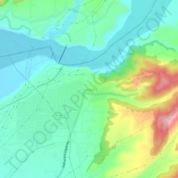
Name: Jugial topographic map, elevation, terrain.
Location: Jugial, Dhar Kalan Tahsil, Pathankot, Punjab, 145029, India (32.36397 75.66545 32.40397 75.70545)
Average elevation: 428 m
Minimum elevation: 366 m
Maximum elevation: 590 m
Thank you for supporting this site ❤️
Make a donation
Make a donation
Other topographic maps
Click on a map to view its topography, its elevation and its terrain.