
Valdosta topographic map
Interactive map
Click on the map to display elevation.
About this map
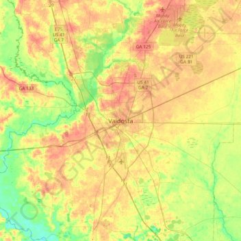
Name: Valdosta topographic map, elevation, terrain.
Location: Valdosta, Lowndes County, Georgia, 31604, United States (30.67270 -83.43849 30.99270 -83.11849)
Average elevation: 54 m
Minimum elevation: 24 m
Maximum elevation: 83 m