
Thank you for supporting this site ❤️
Make a donation
Make a donation
Te Anga topographic map
Click on the map to display elevation.
Thank you for supporting this site ❤️
Make a donation
Make a donation
About this map
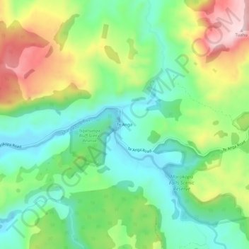
Name: Te Anga topographic map, elevation, terrain.
Location: Te Anga, Waitomo District, Waikato, New Zealand (-38.27596 174.81632 -38.23596 174.85632)
Average elevation: 146 m
Minimum elevation: 7 m
Maximum elevation: 394 m
Thank you for supporting this site ❤️
Make a donation
Make a donation