
Thank you for supporting this site ❤️
Make a donation
Make a donation
Quetzalapa topographic map
Click on the map to display elevation.
Thank you for supporting this site ❤️
Make a donation
Make a donation
About this map
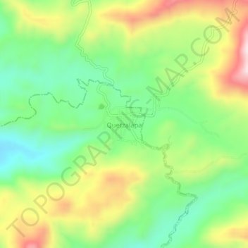
Name: Quetzalapa topographic map, elevation, terrain.
Location: Quetzalapa, Azoyú, Guerrero, México (16.76488 -98.52247 16.80488 -98.48247)
Average elevation: 462 m
Minimum elevation: 294 m
Maximum elevation: 712 m
Thank you for supporting this site ❤️
Make a donation
Make a donation