
Thank you for supporting this site ❤️
Make a donation
Make a donation
Zanetti topographic map
Click on the map to display elevation.
Thank you for supporting this site ❤️
Make a donation
Make a donation
About this map
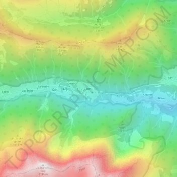
Name: Zanetti topographic map, elevation, terrain.
Location: Zanetti, Ardesio, Bergamo, Lombardia, 24020, Italia (45.93061 9.85878 45.97061 9.89878)
Average elevation: 1,386 m
Minimum elevation: 766 m
Maximum elevation: 2,297 m
Thank you for supporting this site ❤️
Make a donation
Make a donation
Other topographic maps
Click on a map to view its topography, its elevation and its terrain.