
Thank you for supporting this site ❤️
Make a donation
Make a donation
Valley Grande topographic map
Click on the map to display elevation.
Thank you for supporting this site ❤️
Make a donation
Make a donation
About this map
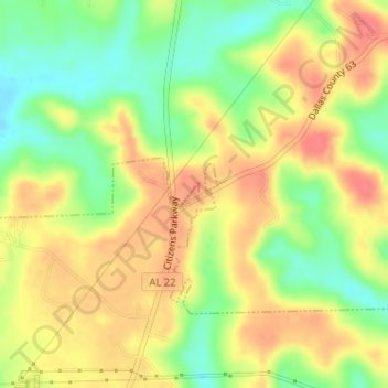
Name: Valley Grande topographic map, elevation, terrain.
Location: Valley Grande, Dallas County, Alabama, United States (32.52532 -86.98125 32.52702 -86.97970)
Average elevation: 101 m
Minimum elevation: 67 m
Maximum elevation: 128 m
Thank you for supporting this site ❤️
Make a donation
Make a donation