
Thank you for supporting this site ❤️
Make a donation
Make a donation
La Sierra topographic map
Click on the map to display elevation.
Thank you for supporting this site ❤️
Make a donation
Make a donation
About this map
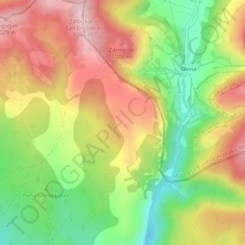
Name: La Sierra topographic map, elevation, terrain.
Location: La Sierra, Condado de Treviño, Burgos, Castile and León, Spain (42.74688 -2.60700 42.76688 -2.58700)
Average elevation: 886 m
Minimum elevation: 742 m
Maximum elevation: 1,028 m
Thank you for supporting this site ❤️
Make a donation
Make a donation