
Thank you for supporting this site ❤️
Make a donation
Make a donation
Laharpur topographic map
Click on the map to display elevation.
Thank you for supporting this site ❤️
Make a donation
Make a donation
About this map
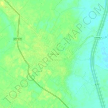
Name: Laharpur topographic map, elevation, terrain.
Location: Laharpur, Sitapur, Uttar Pradesh, 261135, India (27.69109 80.88295 27.73109 80.92295)
Average elevation: 137 m
Minimum elevation: 128 m
Maximum elevation: 145 m
Thank you for supporting this site ❤️
Make a donation
Make a donation