
Siedlce topographic map
Interactive map
Click on the map to display elevation.
About this map
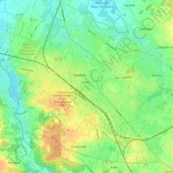
Name: Siedlce topographic map, elevation, terrain.
Location: Siedlce, Siedlce County, Masovian Voivodeship, Poland (52.12755 22.22055 52.19595 22.33096)
Average elevation: 153 m
Minimum elevation: 138 m
Maximum elevation: 174 m