
Zegerplas topographic map
Interactive map
Click on the map to display elevation.
About this map
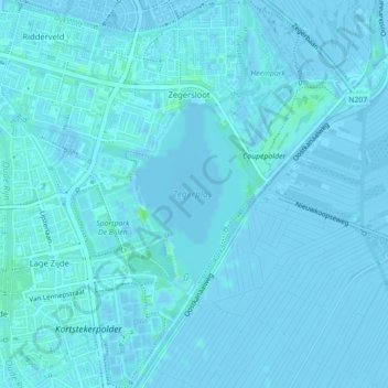
Name: Zegerplas topographic map, elevation, terrain.
Location: Zegerplas, Alphen aan den Rijn, Zuid-Holland, Nederland (52.12959 4.67663 52.14185 4.69027)
Average elevation: 1 m
Minimum elevation: -4 m
Maximum elevation: 8 m