
Thank you for supporting this site ❤️
Make a donation
Make a donation
Ntunda topographic map
Click on the map to display elevation.
Thank you for supporting this site ❤️
Make a donation
Make a donation
About this map
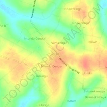
Name: Ntunda topographic map, elevation, terrain.
Location: Ntunda, Kyankwanzi, Central Region, Uganda (1.18095 31.40618 1.22095 31.44618)
Average elevation: 1,106 m
Minimum elevation: 1,081 m
Maximum elevation: 1,127 m
Thank you for supporting this site ❤️
Make a donation
Make a donation