
Villy topographic map
Interactive map
Click on the map to display elevation.
About this map
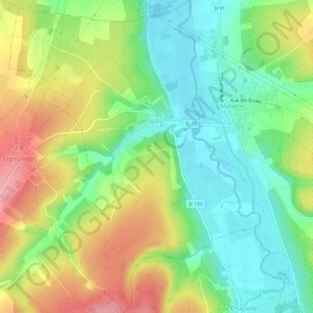
Name: Villy topographic map, elevation, terrain.
Average elevation: 165 m
Minimum elevation: 117 m
Maximum elevation: 234 m
Other topographic maps
Click on a map to view its topography, its elevation and its terrain.
Cheney
France > Bourgogne – Franche-Comté > Yonne
Cheney, Avallon, Yonne, Bourgogne – Franche-Comté, Metropolitan France, 89700, France
Average elevation: 173 m