
St Monans topographic map
Interactive map
Click on the map to display elevation.
About this map
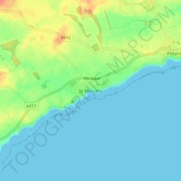
Name: St Monans topographic map, elevation, terrain.
Location: St Monans, Fife, Écosse, KY10 2BJ, Royaume-Uni (56.18515 -2.78552 56.22515 -2.74552)
Average elevation: 12 m
Minimum elevation: 0 m
Maximum elevation: 45 m