
杨坊湖 topographic map
Interactive map
Click on the map to display elevation.
About this map
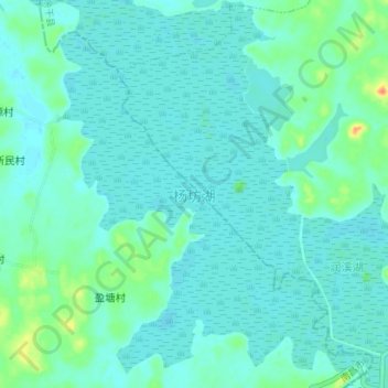
Name: 杨坊湖 topographic map, elevation, terrain.
Location: 杨坊湖, 盈塘村, 钟陵镇, 进贤县, 南昌市, 江西省, 中国 (28.49769 116.50124 28.55967 116.56053)
Average elevation: 19 m
Minimum elevation: 11 m
Maximum elevation: 58 m