
Aurora topographic map
Interactive map
Click on the map to display elevation.
About this map
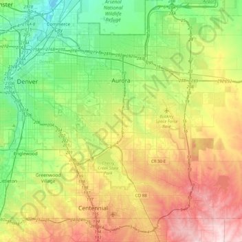
Name: Aurora topographic map, elevation, terrain.
Location: Aurora, Arapahoe County, Colorado, États-Unis d'Amérique (39.55104 -104.88654 39.82696 -104.48891)
Average elevation: 1,690 m
Minimum elevation: 1,548 m
Maximum elevation: 1,930 m