
Châu Đốc topographic map
Interactive map
Click on the map to display elevation.
About this map
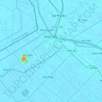
Name: Châu Đốc topographic map, elevation, terrain.
Location: Châu Đốc, An Giang Province, Vietnam (10.61089 105.02335 10.76522 105.15648)
Average elevation: 3 m
Minimum elevation: -5 m
Maximum elevation: 205 m
Other topographic maps
Click on a map to view its topography, its elevation and its terrain.
Bình Hòa
Vietnam > An Giang province > Châu Thành District > Xã Bình Hòa
Bình Hòa, Xã Bình Hòa, Châu Thành District, An Giang Province, Vietnam
Average elevation: 3 m
Hoi An
Vietnam > An Giang province > Chợ Mới District
Hoi An, Chợ Mới District, An Giang Province, Vietnam
Average elevation: 5 m
Xã Bình Chánh
Vietnam > An Giang province > Châu Phú District
Xã Bình Chánh, Châu Phú District, An Giang Province, Vietnam
Average elevation: 2 m
Chau Doc
Vietnam > An Giang province > Chau Doc
Chau Doc, Chau Doc City, An Giang Province, 89888, Vietnam
Average elevation: 5 m