
Fishers Hill topographic map
Interactive map
Click on the map to display elevation.
About this map
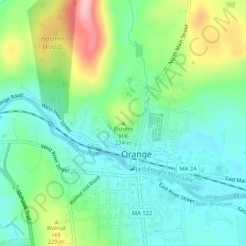
Name: Fishers Hill topographic map, elevation, terrain.
Location: Fishers Hill, Orange, Franklin, Massachusetts, 01364, USA (42.59420 -72.31180 42.59430 -72.31170)
Average elevation: 193 m
Minimum elevation: 143 m
Maximum elevation: 307 m
Other topographic maps
Click on a map to view its topography, its elevation and its terrain.
Packard Pond
USA > Massachusetts > Orange
Packard Pond, Boyden Road, Orange, Franklin, Massachusetts, USA
Average elevation: 199 m