
Heyburn topographic map
Interactive map
Click on the map to display elevation.
About this map
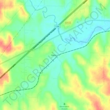
Name: Heyburn topographic map, elevation, terrain.
Location: Heyburn, Creek County, Oklahoma, USA (35.89230 -96.30389 35.93230 -96.26389)
Average elevation: 241 m
Minimum elevation: 217 m
Maximum elevation: 277 m