Wairere Falls topographic map
Interactive map
Click on the map to display elevation.
About this map
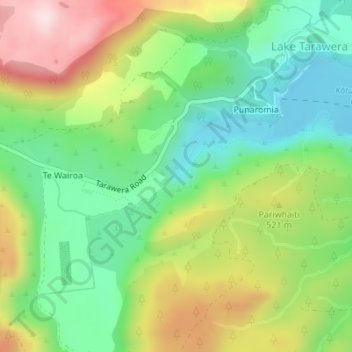
Name: Wairere Falls topographic map, elevation, terrain.
Average elevation: 451 m
Minimum elevation: 295 m
Maximum elevation: 689 m

Click on the map to display elevation.
Name: Wairere Falls topographic map, elevation, terrain.
Average elevation: 451 m
Minimum elevation: 295 m
Maximum elevation: 689 m