
Thank you for supporting this site ❤️
Make a donation
Make a donation
Enterprise topographic map
Click on the map to display elevation.
Thank you for supporting this site ❤️
Make a donation
Make a donation
About this map
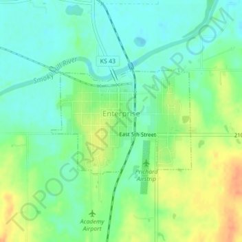
Name: Enterprise topographic map, elevation, terrain.
Location: Enterprise, Dickinson County, Kansas, United States (38.89603 -97.12697 38.90776 -97.10690)
Average elevation: 354 m
Minimum elevation: 338 m
Maximum elevation: 378 m
Thank you for supporting this site ❤️
Make a donation
Make a donation
Other topographic maps
Click on a map to view its topography, its elevation and its terrain.