
Thank you for supporting this site ❤️
Make a donation
Make a donation
Jet topographic map
Click on the map to display elevation.
Thank you for supporting this site ❤️
Make a donation
Make a donation
About this map
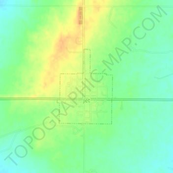
Name: Jet topographic map, elevation, terrain.
Location: Jet, Alfalfa County, Oklahoma, 73749, United States (36.66237 -98.18694 36.67404 -98.17616)
Average elevation: 378 m
Minimum elevation: 363 m
Maximum elevation: 395 m
Thank you for supporting this site ❤️
Make a donation
Make a donation