
Le Flavion topographic map
Interactive map
Click on the map to display elevation.
About this map
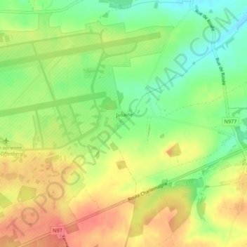
Name: Le Flavion topographic map, elevation, terrain.
Location: Le Flavion, Florennes, Namur, Wallonie, 5620, Belgique (50.23573 4.66421 50.23760 4.66748)
Average elevation: 282 m
Minimum elevation: 250 m
Maximum elevation: 311 m