
Thank you for supporting this site ❤️
Make a donation
Make a donation
Lens-Saint-Remy topographic map
Click on the map to display elevation.
Thank you for supporting this site ❤️
Make a donation
Make a donation
About this map
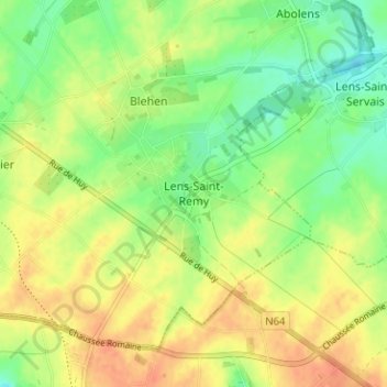
Name: Lens-Saint-Remy topographic map, elevation, terrain.
Location: Lens-Saint-Remy, Hannut, Waremme, Liège, Wallonia, 4280, Belgium (50.63340 5.11290 50.67340 5.15290)
Average elevation: 142 m
Minimum elevation: 121 m
Maximum elevation: 162 m
Thank you for supporting this site ❤️
Make a donation
Make a donation