
Zanderij topographic map
Interactive map
Click on the map to display elevation.
About this map
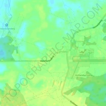
Name: Zanderij topographic map, elevation, terrain.
Location: Zanderij, Para, Suriname (5.43563 -55.23101 5.47563 -55.19101)
Average elevation: 13 m
Minimum elevation: 3 m
Maximum elevation: 22 m