
Thank you for supporting this site ❤️
Make a donation
Make a donation
Gollma topographic map
Click on the map to display elevation.
Thank you for supporting this site ❤️
Make a donation
Make a donation
About this map
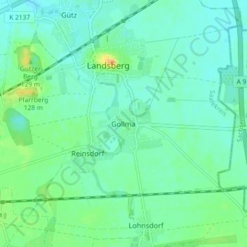
Name: Gollma topographic map, elevation, terrain.
Location: Gollma, Landsberg, Saalekreis, Sachsen-Anhalt, Deutschland (51.49588 12.14640 51.53588 12.18640)
Average elevation: 105 m
Minimum elevation: 96 m
Maximum elevation: 131 m
Thank you for supporting this site ❤️
Make a donation
Make a donation
Other topographic maps
Click on a map to view its topography, its elevation and its terrain.