Geolocate

Stroud topographic map

Interactive map

Click on the map to display elevation.

About this map

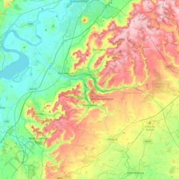
Name: Stroud topographic map, elevation, terrain.

Location: Stroud, Gloucestershire, England, United Kingdom (51.58984 -2.54081 51.85046 -2.06871)

Average elevation: 113 m

Minimum elevation: 0 m

Maximum elevation: 302 m

Other topographic maps

Click on a map to view its topography, its elevation and its terrain.

Down Ampney

United Kingdom > England > Gloucestershire > Cotswold District > Down Ampney

Down Ampney, Cotswold District, Gloucestershire, England, United Kingdom

Average elevation: 85 m