
Thank you for supporting this site ❤️
Make a donation
Make a donation
Khel Gaon topographic map
Click on the map to display elevation.
Thank you for supporting this site ❤️
Make a donation
Make a donation
About this map
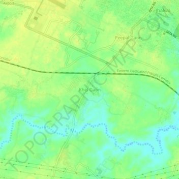
Name: Khel Gaon topographic map, elevation, terrain.
Location: Khel Gaon, Prayagraj, Uttar Pradesh, 211012, India (25.39466 81.73431 25.43466 81.77431)
Average elevation: 93 m
Minimum elevation: 82 m
Maximum elevation: 100 m
Thank you for supporting this site ❤️
Make a donation
Make a donation