
Thank you for supporting this site ❤️
Make a donation
Make a donation
Taungbon topographic map
Click on the map to display elevation.
Thank you for supporting this site ❤️
Make a donation
Make a donation
About this map
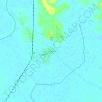
Name: Taungbon topographic map, elevation, terrain.
Location: Taungbon, Ye, Ye District, Mon State, Myanmar (15.39512 97.80807 15.43512 97.84807)
Average elevation: 6 m
Minimum elevation: 3 m
Maximum elevation: 23 m
Thank you for supporting this site ❤️
Make a donation
Make a donation