
Thank you for supporting this site ❤️
Make a donation
Make a donation
Modhera topographic map
Click on the map to display elevation.
Thank you for supporting this site ❤️
Make a donation
Make a donation
About this map
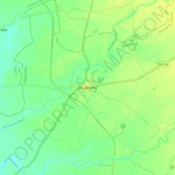
Name: Modhera topographic map, elevation, terrain.
Location: Modhera, Becharaji Taluka, Mahesana, Gujarat, India (23.54167 72.10041 23.62167 72.18041)
Average elevation: 58 m
Minimum elevation: 48 m
Maximum elevation: 67 m
Thank you for supporting this site ❤️
Make a donation
Make a donation