
Thank you for supporting this site ❤️
Make a donation
Make a donation
Premont topographic map
Click on the map to display elevation.
Thank you for supporting this site ❤️
Make a donation
Make a donation
About this map
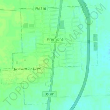
Name: Premont topographic map, elevation, terrain.
Location: Premont, Jim Wells County, Texas, United States (27.34461 -98.13863 27.36882 -98.11195)
Average elevation: 49 m
Minimum elevation: 43 m
Maximum elevation: 54 m
Thank you for supporting this site ❤️
Make a donation
Make a donation