
Thank you for supporting this site ❤️
Make a donation
Make a donation
Thaba-Lesoba topographic map
Click on the map to display elevation.
Thank you for supporting this site ❤️
Make a donation
Make a donation
About this map
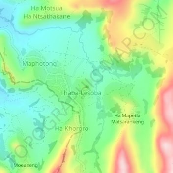
Name: Thaba-Lesoba topographic map, elevation, terrain.
Location: Thaba-Lesoba, Leribe District, Lesotho (-29.01074 28.08323 -29.01064 28.08333)
Average elevation: 1,808 m
Minimum elevation: 1,709 m
Maximum elevation: 1,984 m
Thank you for supporting this site ❤️
Make a donation
Make a donation