
Arvin topographic map
Interactive map
Click on the map to display elevation.
About this map
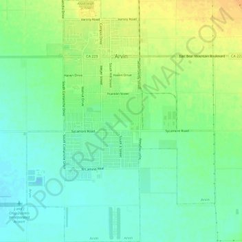
Name: Arvin topographic map, elevation, terrain.
Location: Arvin, Kern County, Califórnia, Estados Unidos da América (35.17282 -118.85105 35.22005 -118.80588)
Average elevation: 130 m
Minimum elevation: 117 m
Maximum elevation: 148 m