
Thank you for supporting this site ❤️
Make a donation
Make a donation
Tiruchendur topographic map
Click on the map to display elevation.
Thank you for supporting this site ❤️
Make a donation
Make a donation
About this map
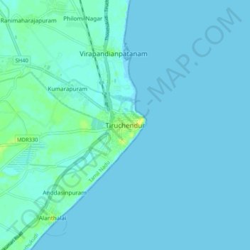
Name: Tiruchendur topographic map, elevation, terrain.
Location: Tiruchendur, Thoothukudi, Tamil Nadu, 628200, India (8.45557 78.08332 8.53557 78.16332)
Average elevation: 2 m
Minimum elevation: -2 m
Maximum elevation: 17 m
Thank you for supporting this site ❤️
Make a donation
Make a donation
Other topographic maps
Click on a map to view its topography, its elevation and its terrain.