
Thank you for supporting this site ❤️
Make a donation
Make a donation
After topographic map
Click on the map to display elevation.
Thank you for supporting this site ❤️
Make a donation
Make a donation
About this map
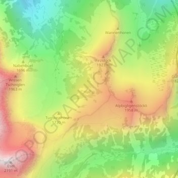
Name: After topographic map, elevation, terrain.
Location: After, Glarus Nord, Glarus, 8874, Switzerland (47.07050 9.15929 47.09050 9.17929)
Average elevation: 1,634 m
Minimum elevation: 1,116 m
Maximum elevation: 2,215 m
Thank you for supporting this site ❤️
Make a donation
Make a donation