
Thank you for supporting this site ❤️
Make a donation
Make a donation
Hamra topographic map
Click on the map to display elevation.
Thank you for supporting this site ❤️
Make a donation
Make a donation
About this map
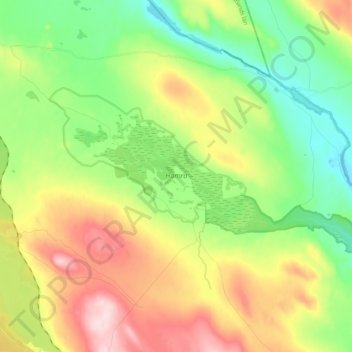
Name: Hamra topographic map, elevation, terrain.
Location: Hamra, Ljusdals kommun, Gävleborg County, Sweden (61.73231 14.72939 61.78063 14.93119)
Average elevation: 437 m
Minimum elevation: 330 m
Maximum elevation: 605 m
Thank you for supporting this site ❤️
Make a donation
Make a donation