
Thank you for supporting this site ❤️
Make a donation
Make a donation
Tarbagatai Mountains topographic map
Click on the map to display elevation.
Thank you for supporting this site ❤️
Make a donation
Make a donation
About this map
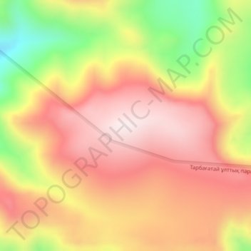
Name: Tarbagatai Mountains topographic map, elevation, terrain.
Location: Tarbagatai Mountains, Urzhar District, Abay Region, Kazakhstan (47.18832 82.46569 47.18842 82.46579)
Average elevation: 2,750 m
Minimum elevation: 2,401 m
Maximum elevation: 2,985 m
Thank you for supporting this site ❤️
Make a donation
Make a donation
Other topographic maps
Click on a map to view its topography, its elevation and its terrain.