
Thank you for supporting this site ❤️
Make a donation
Make a donation
Panungyan II topographic map
Click on the map to display elevation.
Thank you for supporting this site ❤️
Make a donation
Make a donation
About this map
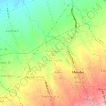
Name: Panungyan II topographic map, elevation, terrain.
Location: Panungyan II, Mendez, Cavite, Calabarzon, 4121, Philippines (14.11729 120.87532 14.15729 120.91532)
Average elevation: 486 m
Minimum elevation: 401 m
Maximum elevation: 579 m
Thank you for supporting this site ❤️
Make a donation
Make a donation
Other topographic maps
Click on a map to view its topography, its elevation and its terrain.