
Zenjiflue topographic map
Interactive map
Click on the map to display elevation.
About this map
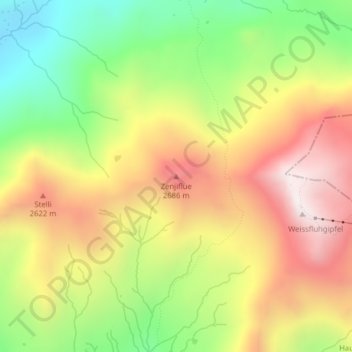
Name: Zenjiflue topographic map, elevation, terrain.
Location: Zenjiflue, Arosa, Plessur, Graubünden, 3921, Zwitserland (46.83746 9.78054 46.83756 9.78064)
Average elevation: 2,367 m
Minimum elevation: 1,908 m
Maximum elevation: 2,832 m