
Thank you for supporting this site ❤️
Make a donation
Make a donation
Reideburg topographic map
Click on the map to display elevation.
Thank you for supporting this site ❤️
Make a donation
Make a donation
About this map
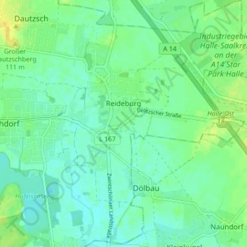
Name: Reideburg topographic map, elevation, terrain.
Location: Reideburg, Halle (Saale), Saxony-Anhalt, Germany (51.45786 12.03698 51.49805 12.08922)
Average elevation: 98 m
Minimum elevation: 90 m
Maximum elevation: 111 m
Thank you for supporting this site ❤️
Make a donation
Make a donation
Other topographic maps
Click on a map to view its topography, its elevation and its terrain.