
Thank you for supporting this site ❤️
Make a donation
Make a donation
Herekino topographic map
Click on the map to display elevation.
Thank you for supporting this site ❤️
Make a donation
Make a donation
About this map
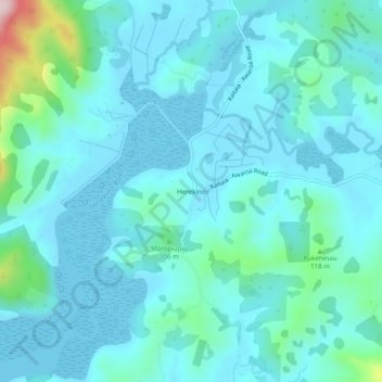
Name: Herekino topographic map, elevation, terrain.
Average elevation: 43 m
Minimum elevation: 0 m
Maximum elevation: 320 m
Thank you for supporting this site ❤️
Make a donation
Make a donation
Other topographic maps
Click on a map to view its topography, its elevation and its terrain.
Ahiaruhe Shell Bank
New Zealand > Northland > Far North District > Te Hiku Community
Average elevation: 3 m