
Thank you for supporting this site ❤️
Make a donation
Make a donation
Ippatam topographic map
Click on the map to display elevation.
Thank you for supporting this site ❤️
Make a donation
Make a donation
About this map
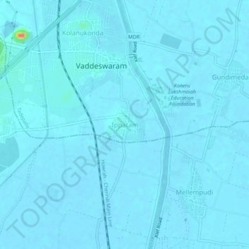
Name: Ippatam topographic map, elevation, terrain.
Location: Ippatam, Tadepalle, Guntur, Andhra Pradesh, 522502, India (16.41754 80.59542 16.45754 80.63542)
Average elevation: 19 m
Minimum elevation: 16 m
Maximum elevation: 87 m
Thank you for supporting this site ❤️
Make a donation
Make a donation
Other topographic maps
Click on a map to view its topography, its elevation and its terrain.