
Thank you for supporting this site ❤️
Make a donation
Make a donation
Tera topographic map
Click on the map to display elevation.
Thank you for supporting this site ❤️
Make a donation
Make a donation
About this map
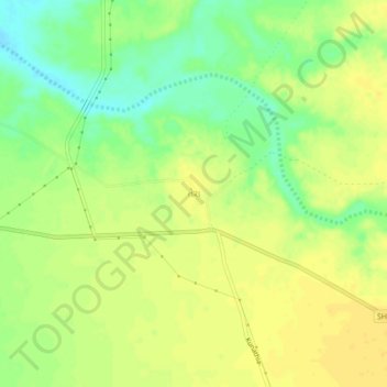
Name: Tera topographic map, elevation, terrain.
Location: Tera, Abdasa Taluka, Kachchh, Gujarat, 370660, India (23.26624 68.91935 23.30624 68.95935)
Average elevation: 43 m
Minimum elevation: 27 m
Maximum elevation: 53 m
Thank you for supporting this site ❤️
Make a donation
Make a donation