
Thank you for supporting this site ❤️
Make a donation
Make a donation
Rantej topographic map
Click on the map to display elevation.
Thank you for supporting this site ❤️
Make a donation
Make a donation
About this map
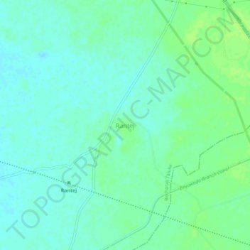
Name: Rantej topographic map, elevation, terrain.
Location: Rantej, Becharaji Taluka, Mahesana, Gujarat, India (23.46055 72.14443 23.50055 72.18443)
Average elevation: 56 m
Minimum elevation: 51 m
Maximum elevation: 61 m
Thank you for supporting this site ❤️
Make a donation
Make a donation