
Thank you for supporting this site ❤️
Make a donation
Make a donation
Jarvis topographic map
Click on the map to display elevation.
Thank you for supporting this site ❤️
Make a donation
Make a donation
About this map
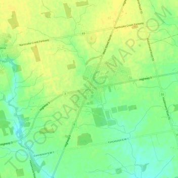
Name: Jarvis topographic map, elevation, terrain.
Location: Jarvis, Haldimand County, Ontario, N0A 1J0, Canada (42.86447 -80.13394 42.90447 -80.09394)
Average elevation: 210 m
Minimum elevation: 196 m
Maximum elevation: 221 m
Thank you for supporting this site ❤️
Make a donation
Make a donation