
Thank you for supporting this site ❤️
Make a donation
Make a donation
Mahoba topographic map
Click on the map to display elevation.
Thank you for supporting this site ❤️
Make a donation
Make a donation
Mahoba
Mahoba is located at 25°17′N 79°52′E / 25.28°N 79.87°E / 25.28; 79.87. It has an average elevation of 214 metres (702 feet).
Thank you for supporting this site ❤️
Make a donation
Make a donation
About this map
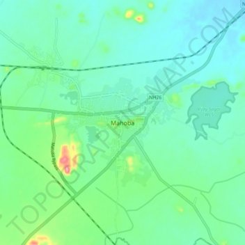
Name: Mahoba topographic map, elevation, terrain.
Location: Mahoba, Uttar Pradesh, 210427, India (25.24869 79.83921 25.32869 79.91921)
Average elevation: 208 m
Minimum elevation: 180 m
Maximum elevation: 310 m
Thank you for supporting this site ❤️
Make a donation
Make a donation