
McAlpin topographic map
Interactive map
Click on the map to display elevation.
About this map
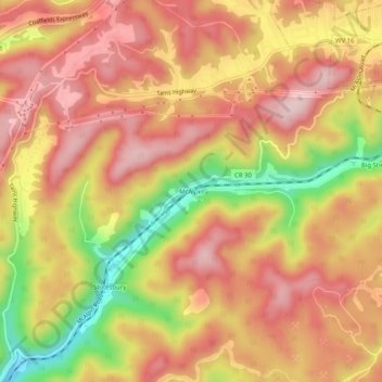
Name: McAlpin topographic map, elevation, terrain.
Location: McAlpin, Raleigh County, West Virginia, 25921, United States (37.67178 -81.29788 37.71178 -81.25788)
Average elevation: 721 m
Minimum elevation: 542 m
Maximum elevation: 827 m