
Thank you for supporting this site ❤️
Make a donation
Make a donation
Laguna Wilcacocha topographic map
Click on the map to display elevation.
Thank you for supporting this site ❤️
Make a donation
Make a donation
About this map
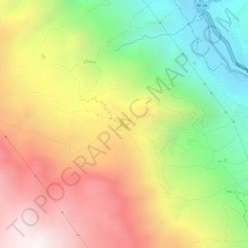
Name: Laguna Wilcacocha topographic map, elevation, terrain.
Location: Laguna Wilcacocha, Chilca, Huaraz, Áncash, Perú (-9.59738 -77.53242 -9.59612 -77.53111)
Average elevation: 3,617 m
Minimum elevation: 3,111 m
Maximum elevation: 4,092 m
Thank you for supporting this site ❤️
Make a donation
Make a donation